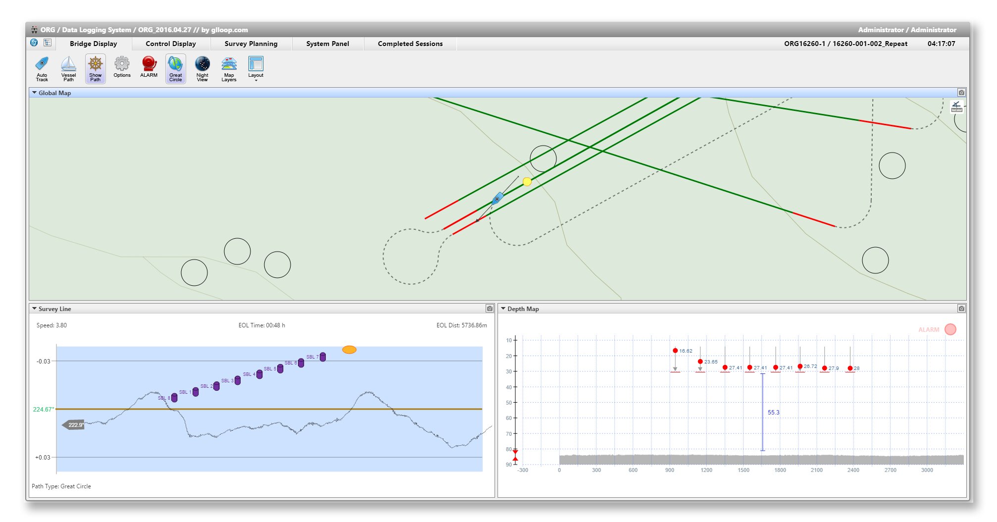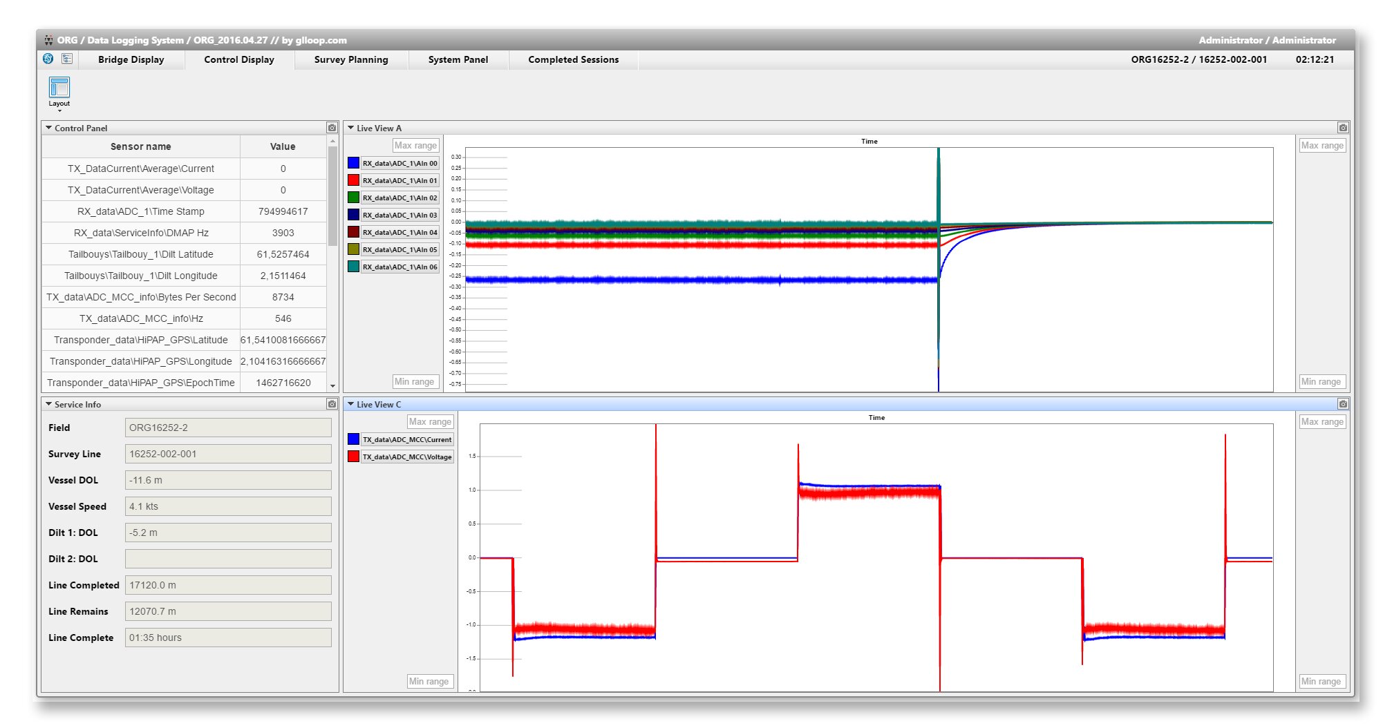
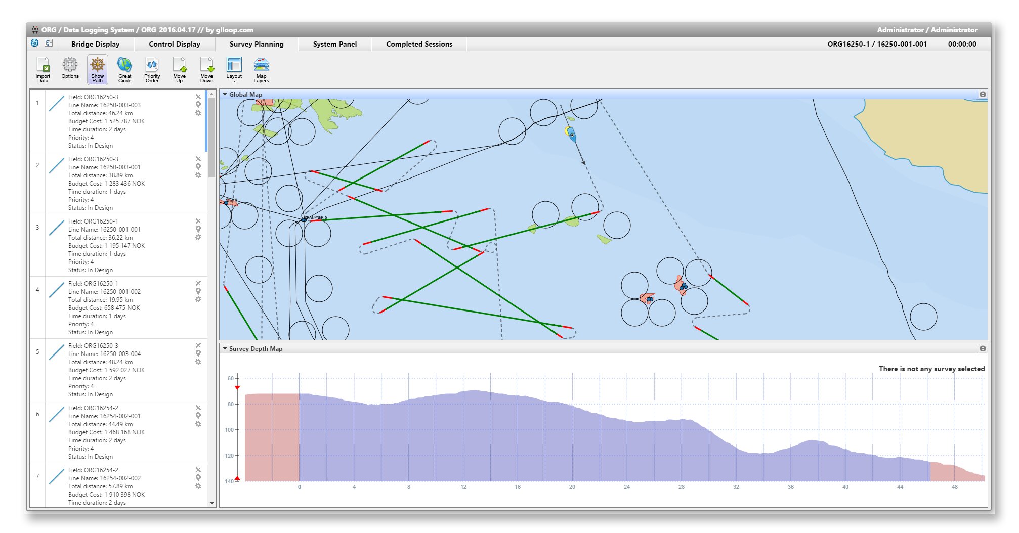
For a group of Norwegian service companies operating in the area of oil and gas production, we have developed a universal system for collecting and processing geophysical data on the sea shelf. A feature of the platform is that it is able to work with any amount of streaming input data, including Seismic, Electro Magnetic and Geo Chemical data, which as a result gives the most accurate picture of the content of hydrocarbons and other minerals on a sea shelf.
Features
- Significant time and cost savings
- Integration with airborne AIS
- Integration with SIMRAD (Marine Autopilot)
- Easy connection of new sources and sensors
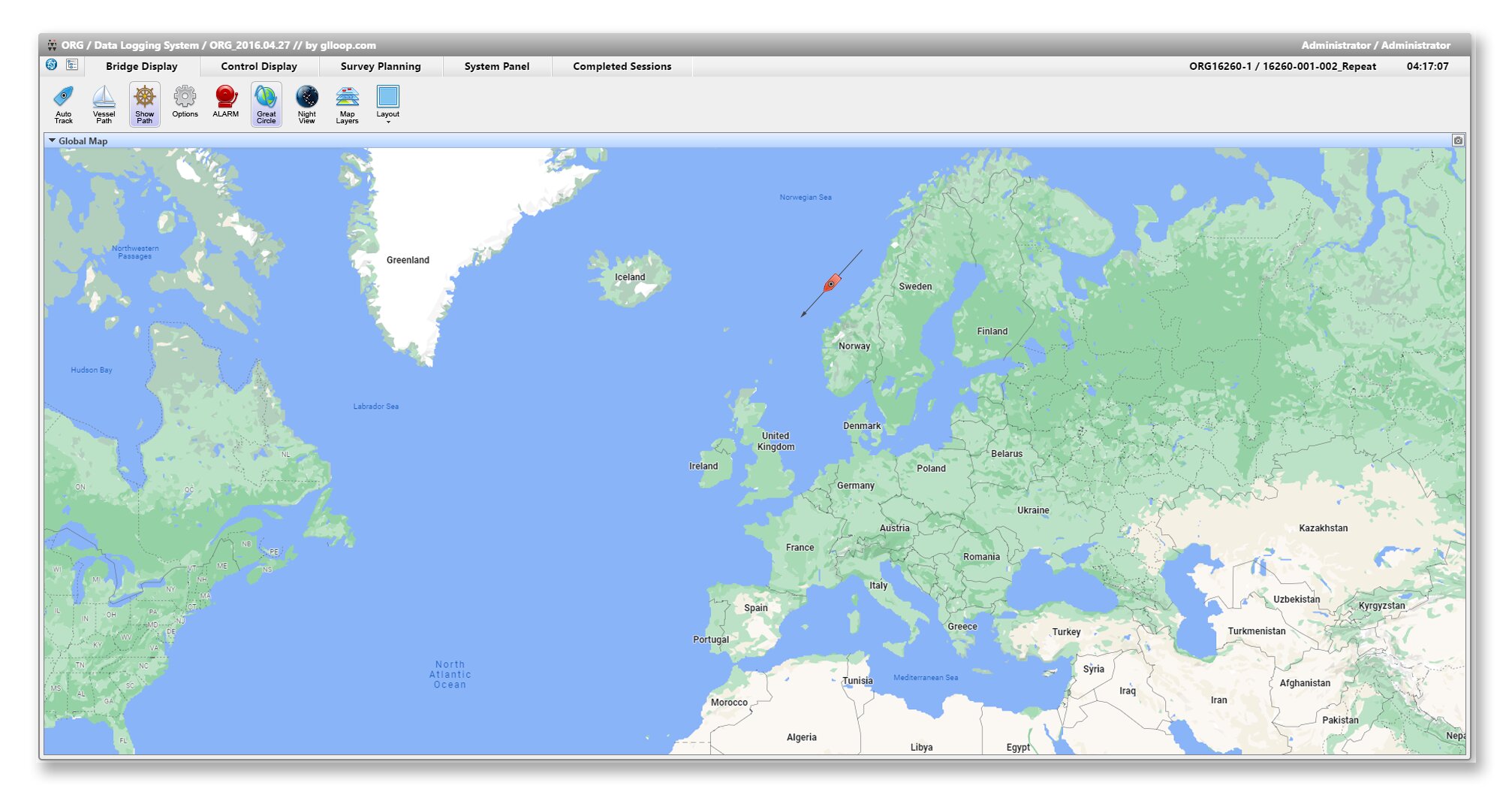
- Ability to work with Online and Offline maps and switch between them
- Simple and clear interface
- Night mode
- Research plan loading and automatic route building
- Interactive display of all inputs
- And more